Difference between revisions of "Overbrook Maps"
From Carrick-Overbrook Historical Society
| Line 1: | Line 1: | ||
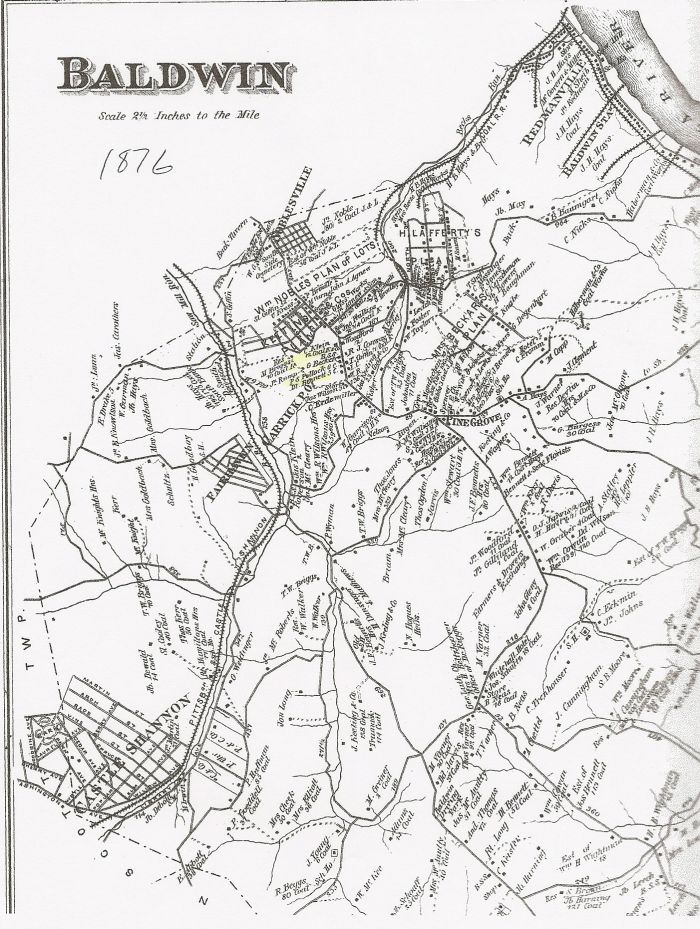
| + | == This is an 1876 map of Baldwin Township illustrating Carrick and Overbrook before they became boroughs. == | ||
| + | |||
| + | [[Image:Baldwin Map 1876.jpg]] | ||
| + | |||
| + | |||
| + | == More maps == | ||
| + | |||
[[Image:Overbrook map half size.jpg]] | [[Image:Overbrook map half size.jpg]] | ||
[[Image:Map of Overbrook-1.jpg]] | [[Image:Map of Overbrook-1.jpg]] | ||
Latest revision as of 15:25, 24 May 2009
This is an 1876 map of Baldwin Township illustrating Carrick and Overbrook before they became boroughs.


