Maps
From Carrick-Overbrook Historical Society
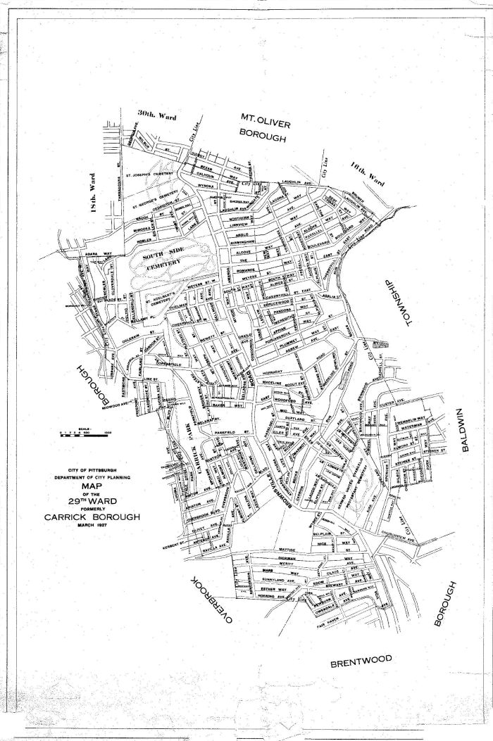
This section contains a collection of maps of Carrick.
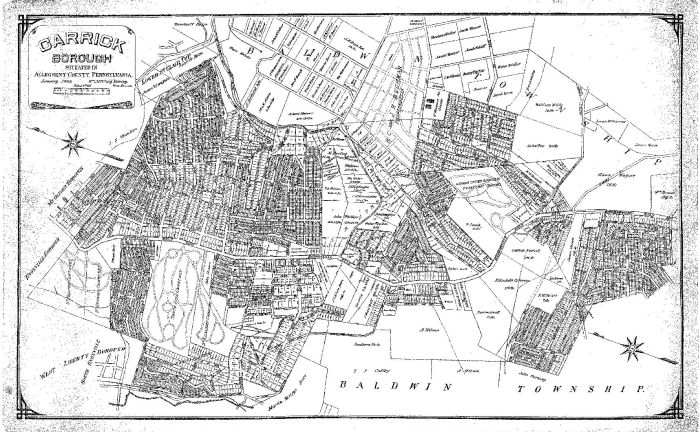
This 1905 Carrick Borough map is now framed and hanging on the "Carrick Room" of the Carrick Branch of the Carnegie Library of Pittsburgh. See [Pittsburgh Leader 1904]for the full story of Carrick Borough breaking away from Baldwin Township on [June 21, 1904].

