Difference between revisions of "Utility Covers"
From Carrick-Overbrook Historical Society
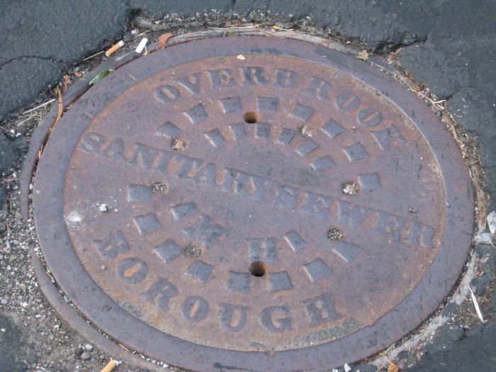
(→This one is located in the parking lot of the Dairy Queen at the intersection of Mullouly Street and Clairton Boulevard (AKA Saw Mill Run Blvd.) (State Route 51), Overbrook neighborhood.) |
|||
| (One intermediate revision by the same user not shown) | |||
| Line 2: | Line 2: | ||
[[Image:Overbrook Borough Manhole Cover.jpg]] | [[Image:Overbrook Borough Manhole Cover.jpg]] | ||
| + | |||
| + | |||
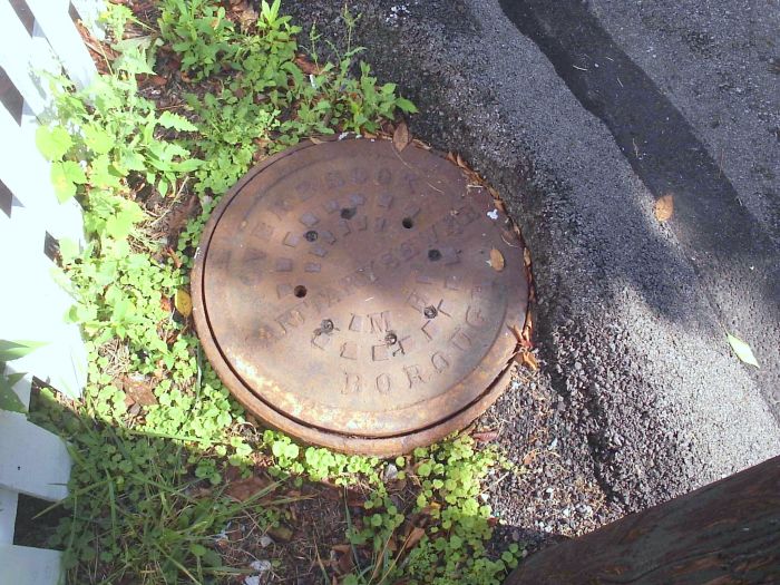
| + | == This one is located 1000 feet from Mulooly Street and Stewart Street on Muloolly Street. == | ||
| + | |||
| + | [[Image:Overbrook Manhole on Mulully.jpg]] | ||
| + | |||
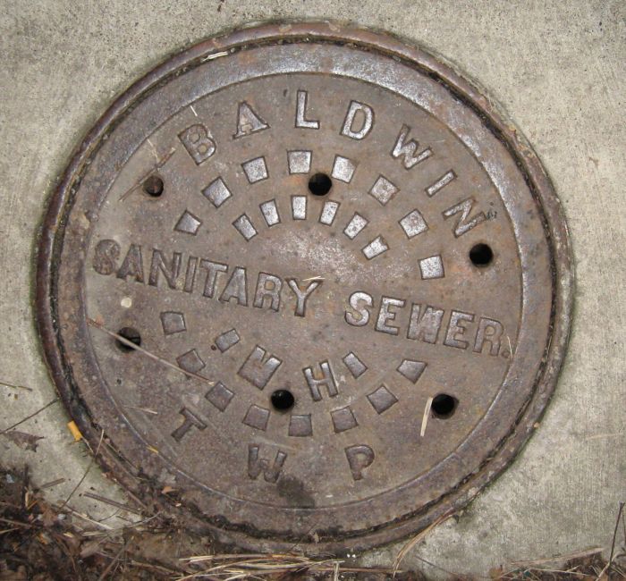
== This one is located on an Overbrook Boulevard sidewalk just 200 feet from Saw Mill Run Blvd. == | == This one is located on an Overbrook Boulevard sidewalk just 200 feet from Saw Mill Run Blvd. == | ||
[[Image:Baldwin Twp sewer resized.jpg]] | [[Image:Baldwin Twp sewer resized.jpg]] | ||
| + | |||
| + | |||
| + | == Can you find more? == | ||
Latest revision as of 18:39, 12 March 2009
Contents
- 1 This one is located in the parking lot of the Dairy Queen at the intersection of Mullouly Street and Clairton Boulevard (AKA Saw Mill Run Blvd.) (State Route 51), Overbrook neighborhood.
- 2 This one is located 1000 feet from Mulooly Street and Stewart Street on Muloolly Street.
- 3 This one is located on an Overbrook Boulevard sidewalk just 200 feet from Saw Mill Run Blvd.
- 4 Can you find more?
This one is located in the parking lot of the Dairy Queen at the intersection of Mullouly Street and Clairton Boulevard (AKA Saw Mill Run Blvd.) (State Route 51), Overbrook neighborhood.
This one is located 1000 feet from Mulooly Street and Stewart Street on Muloolly Street.
This one is located on an Overbrook Boulevard sidewalk just 200 feet from Saw Mill Run Blvd.


