Difference between revisions of "Trolleys in Carrick"
From Carrick-Overbrook Historical Society
| Line 9: | Line 9: | ||
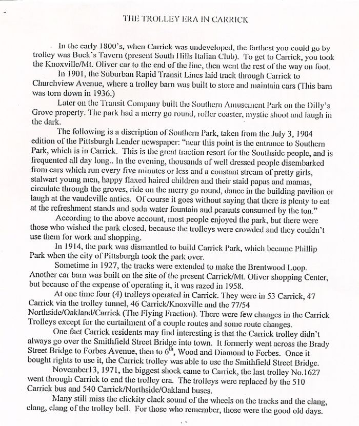
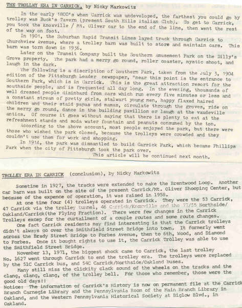
== This is an article written by Carrick Historian Nick Markowitz == | == This is an article written by Carrick Historian Nick Markowitz == | ||
| + | [[Image:Carrick Trolley Era.jpg]] | ||
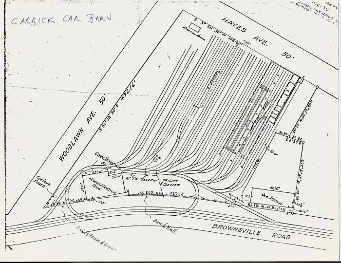
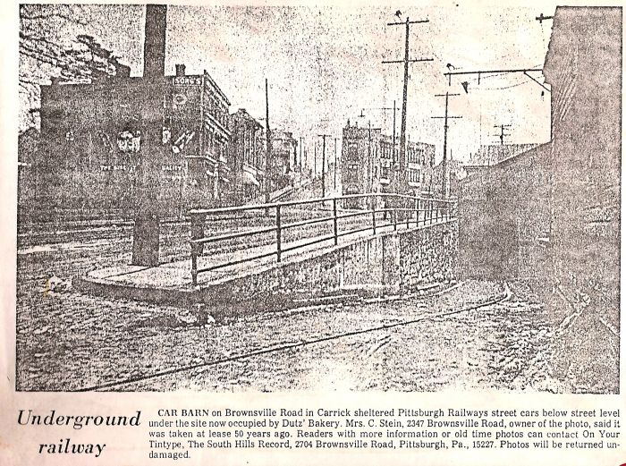
| − | + | == This site diagram shown below is currently occupied by the Shopping Center bounded by Wynoka, Brownsville and Amanda and ncludes Foodland, Citizens Bank and several convenience stores. == | |
| − | + | ||
[[Image:Carrick barn layout diagram.jpg]] | [[Image:Carrick barn layout diagram.jpg]] | ||
| − | |||
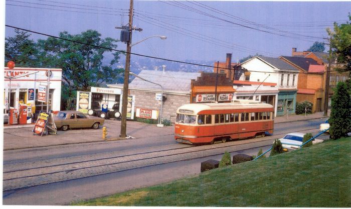
| + | == These photos can also be seen at [[Lennix Gulf Station]] == | ||
| + | |||
[[Image:Lennox street car.jpg]] | [[Image:Lennox street car.jpg]] | ||
| + | |||
| + | [[Image:Carrick Car Barn at Lennox Gas.jpg]] | ||
| + | |||
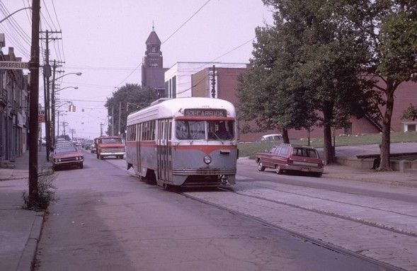
== Copperfield and Brownsville Road in front of Concord Presbyterian Church == | == Copperfield and Brownsville Road in front of Concord Presbyterian Church == | ||
[[Image:53 Carrick Trolley.jpg]] | [[Image:53 Carrick Trolley.jpg]] | ||
Revision as of 08:22, 28 December 2008
Click Here for trolley enthusiasts here is a link to a local web site with many trolley photos.
Contents
- 1 This is an article written by Carrick Historian Nick Markowitz
- 2 This site diagram shown below is currently occupied by the Shopping Center bounded by Wynoka, Brownsville and Amanda and ncludes Foodland, Citizens Bank and several convenience stores.
- 3 These photos can also be seen at Lennix Gulf Station
- 4 Copperfield and Brownsville Road in front of Concord Presbyterian Church
This is an article written by Carrick Historian Nick Markowitz
This site diagram shown below is currently occupied by the Shopping Center bounded by Wynoka, Brownsville and Amanda and ncludes Foodland, Citizens Bank and several convenience stores.
These photos can also be seen at Lennix Gulf Station

