Difference between revisions of "Keeling Coal Company"
From Carrick-Overbrook Historical Society
| Line 2: | Line 2: | ||
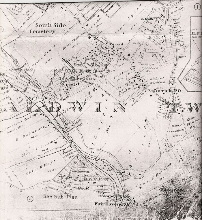
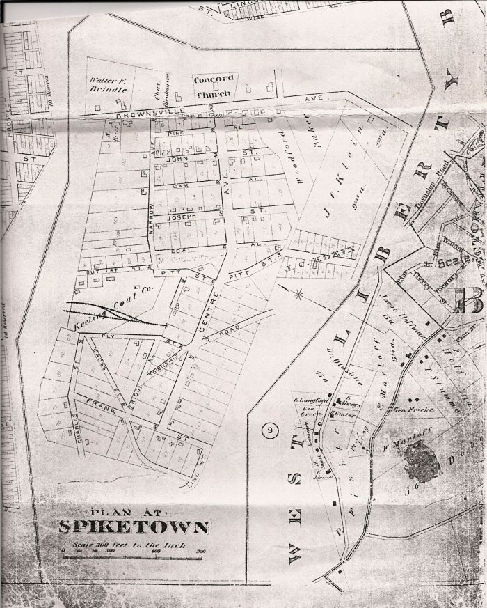
| − | == The following two images are from an 1896 map of Baldwin Township. Carrick Borough did not exist yet, but was just a post office. Spiketown was just a neighborhood in the great Baldwin Township. == | + | == The following two images are from an 1896 map of Baldwin Township. Carrick Borough did not exist yet, but was just a post office. Spiketown was just a neighborhood in the great Baldwin Township. Notice at the very bottom of the map is the notation "[[Fairhaven]] PO" the name of the current [[Overbrook]] neighborhood. == |
[[Image:Spiketown in Barlwin Twp..jpg]] | [[Image:Spiketown in Barlwin Twp..jpg]] | ||
Revision as of 15:10, 13 September 2008
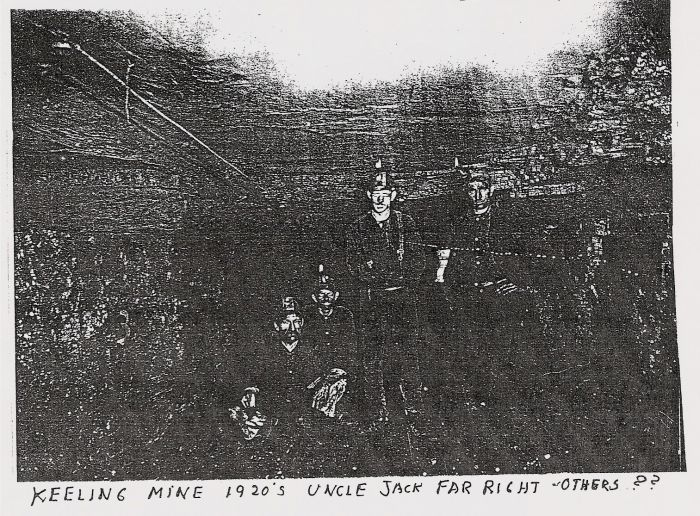
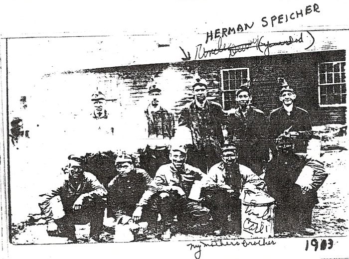
The owner of a coal mine on St. Patrick Street in Mt. Oliver. The mine was connected with the South Side by an incline, now the site of South Side Park, that ran from St. Patrick St. to 21st St. The mine continued under Mt. Oliver, crossed a ravine on a 200 yard trestle over Wagner Street, and continued under Carrick near Bruner and Linnview Avenue. It then continued underground to Spiketown, where it emerged again. Coal from the Bausman mine was tranferred to a train pulled by a steam locomotive, and transported through the Keeling mine to the coal incline.
The following two images are from an 1896 map of Baldwin Township. Carrick Borough did not exist yet, but was just a post office. Spiketown was just a neighborhood in the great Baldwin Township. Notice at the very bottom of the map is the notation "Fairhaven PO" the name of the current Overbrook neighborhood.


