Difference between revisions of "Coal Mine Maps"
From Carrick-Overbrook Historical Society
| Line 1: | Line 1: | ||
| + | == This a link to a general overview of mining under Council District 4 == | ||
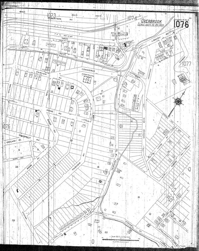
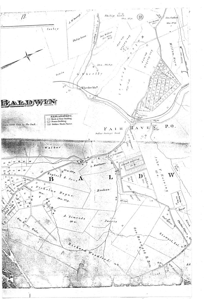
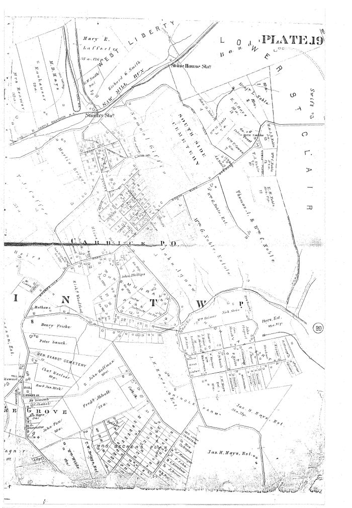
| − | == These are interesting mine maps of our area that are from the collection of Carol Anthony. These scanned maps will be on our web site shortly. These mine maps display an interesting view of what's underneath our homes. Wouldn't it be interesting to actually tour these underground vaults to see what has been left behind? Many of our residents are unaware of the fact that the [[Keeling Coal Company]] portal was located at [[Volunteers Athletic Field]] and that most of [[Carrick]] and [[Overbrook]] are a void and mined out. The field is actually built on "tailings" or mine waste taken out of the mines. Check out our section on the [[Keeling Coal Company]] by clicking here. Some residents have told us they know of the portals and have actually mined coal out of their basements. This area was also known as [[Spiketown]] since many of the old homes were built using the mining spikes of the mines. == | + | == [http://www.dep.state.pa.us/MSIHomeowners/Municipality_Mine_Maps/Allegheny_County/pittsburgh_district_4.pdf Click Here for map] == |
| + | |||
| + | |||
| + | == These are detailed interesting mine maps of our area that are from the collection of Carol Anthony. These scanned maps will be on our web site shortly. These mine maps display an interesting view of what's underneath our homes. Wouldn't it be interesting to actually tour these underground vaults to see what has been left behind? Many of our residents are unaware of the fact that the [[Keeling Coal Company]] portal was located at [[Volunteers Athletic Field]] and that most of [[Carrick]] and [[Overbrook]] are a void and mined out. The field is actually built on "tailings" or mine waste taken out of the mines. Check out our section on the [[Keeling Coal Company]] by clicking here. Some residents have told us they know of the portals and have actually mined coal out of their basements. This area was also known as [[Spiketown]] since many of the old homes were built using the mining spikes of the mines. == | ||


